Top 5 Land Surveying Drones in Canada for 2026
Publié le vendredi 23 janvier 2026
Land surveying drones empower professionals to gather accurate topographic data efficiently. In Canada, surveyors, engineers, and resource managers increasingly prefer drone solutions because they combine centimeter-level accuracy with faster data collection, lower operational costs, and safer access to remote or hazardous sites. Modern surveying drones support RTK and PPK positioning, high-resolution photogrammetry, and LiDAR payloads, making them suitable for applications such as topographic mapping, construction staking, corridor surveys, forestry inventory, and mining site monitoring. Buyers in the Canadian market prioritize regulatory compliance with Transport Canada rules, reliable cold-weather performance, strong vendor support and service networks, payload flexibility, and seamless integration with GIS and CAD workflows. The 2026 market also reflects growing interest in automated flight planning, cloud-based processing, and AI-assisted feature extraction, which further reduce field time and speed deliverables.
Les meilleurs choix
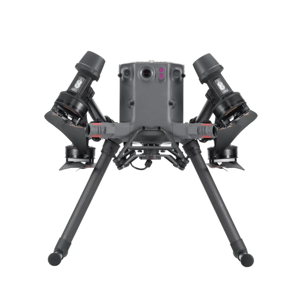
DJI Matrice 350 RTK
The DJI Matrice 350 RTK is DJI's flagship industrial platform for land surveying, offering long endurance, enterprise-grade RTK positioning, and broad payload flexibility that supports LiDAR, high-resolution photogrammetry cameras, and multiple sensors. It stands out on this list for handling complex, sensor-heavy surveys and harsh environments more reliably than smaller systems like the Phantom or Mavic, although that capability comes with higher acquisition and operating costs.
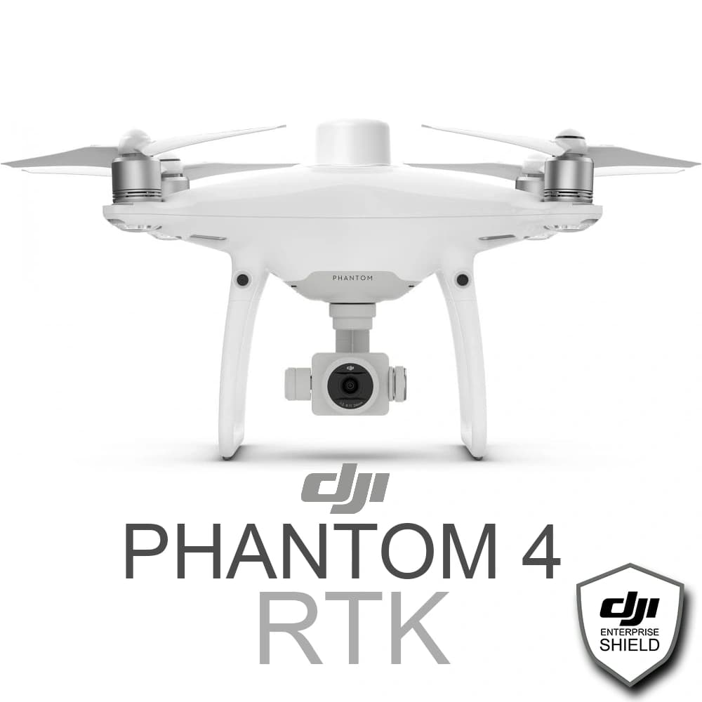
DJI Phantom 4 RTK
The DJI Phantom 4 RTK is a purpose-built photogrammetry quadcopter with integrated RTK GNSS and a calibrated 20MP sensor, delivering centimeter-level accuracy in a compact, cost-effective package. For small-to-medium land surveys it is easier to deploy and less expensive than the Matrice 350 RTK or senseFly eBee X, but it lacks the endurance and payload expansion needed for very large or LiDAR-based projects.
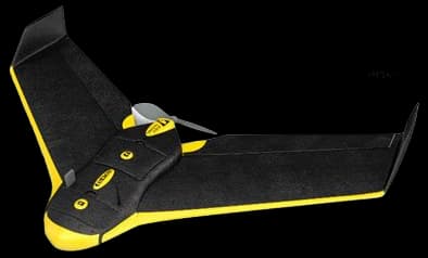
senseFly eBee X
The senseFly eBee X is a fixed-wing mapping specialist optimized for very large-area surveys, delivering long endurance and a low cost per hectare compared with multirotor alternatives like the Phantom or Mavic. Its efficiency and modular camera options make it the market leader for wide-area topographic and agricultural mapping, although it trades off VTOL convenience and the flexible payload support of platforms such as the Matrice 350 RTK.
$35,000-55,000 CAD
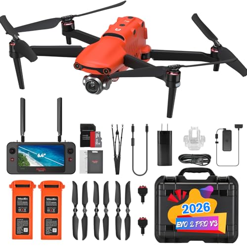
Autel Robotics EVO II Pro V3
The Autel EVO II Pro RTK combines a 1-inch 6K sensor with integrated RTK to provide high-resolution mapping and competitive accuracy at a price point that undercuts many flagship offerings. It offers an attractive middle ground for medium-scale surveying projects by delivering superior image detail and portability versus entry-level craft, while lacking the enterprise payload ecosystem and heavy-lift capabilities of the Matrice line.
DJI Mavic 3 Enterprise
The DJI Mavic 3 Enterprise delivers foldable portability with an enterprise-grade camera and optional RTK, making it ideal for rapid site checks, progress monitoring, and small parcel surveys where speed and ease of deployment matter more than maximum payload or endurance. It is more affordable and faster to mobilize than the Matrice 350 RTK and more maneuverable than the eBee X for confined sites, but it cannot match larger platforms for sensor diversity or large-area efficiency.
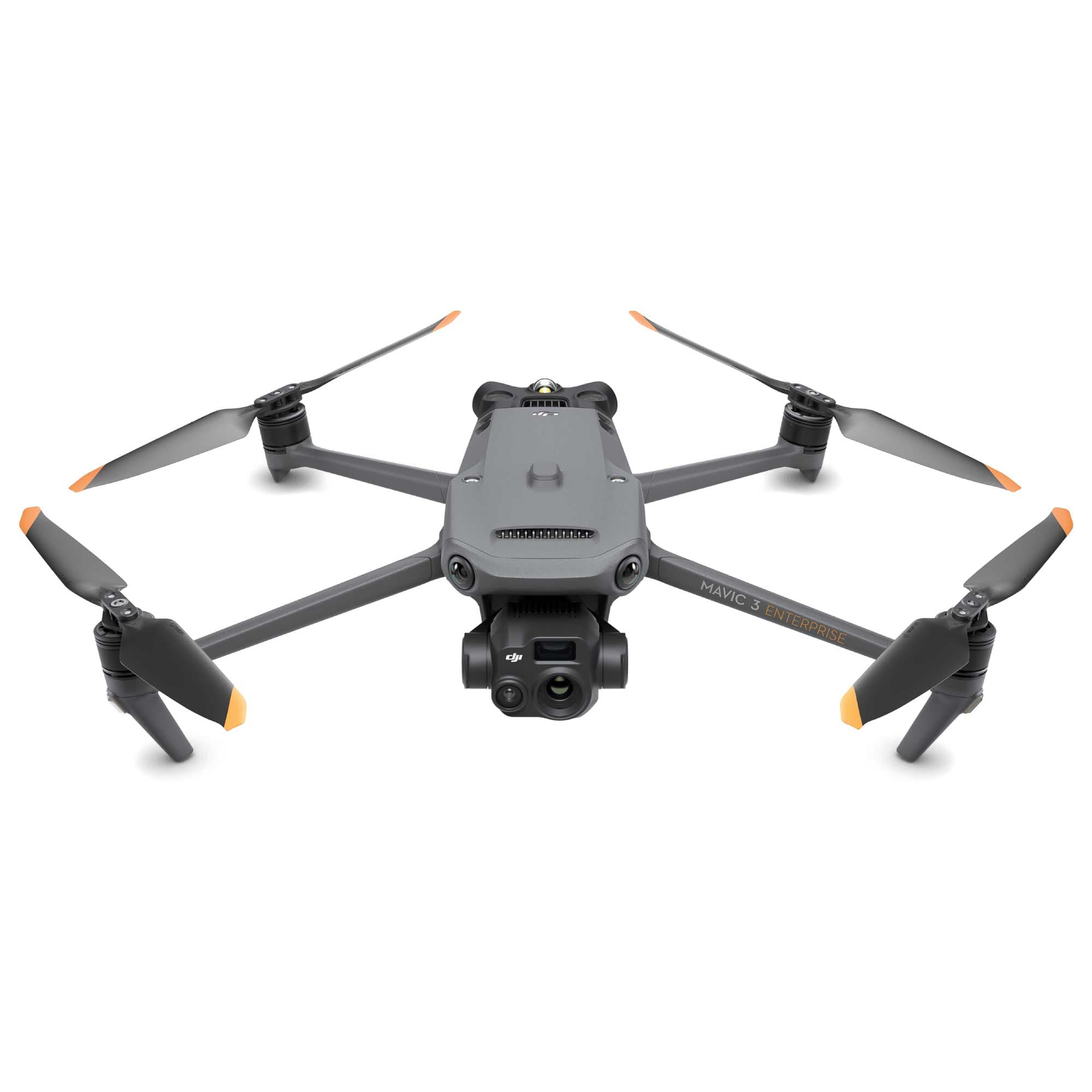
$6,000-10,000 CAD
Why science and field studies support drone surveying
Scientific research and industry field studies demonstrate that unmanned aerial systems improve survey accuracy, efficiency, and safety when deployed with proper workflows. Peer-reviewed studies, government white papers, and industry validation tests show that photogrammetry combined with ground control or RTK/PPK can achieve horizontal and vertical accuracies suitable for many cadastral and engineering tasks. LiDAR-equipped drones provide reliable ground and vegetation penetration for complex terrain and forested sites. Research also highlights large reductions in field time and personnel exposure to hazards, provided operators follow best practices for calibration, ground control placement, and processing.
RTK and PPK workflows reduce absolute positioning errors to the centimeter level when combined with good ground control and calibration.
Photogrammetric surveys processed with modern structure-from-motion tools produce high-density point clouds and orthomosaics that meet many engineering and planning requirements.
Drone-mounted LiDAR delivers improved ground returns in vegetated areas compared with photogrammetry alone, enabling accurate bare-earth models.
Field studies report substantial time savings, often reducing on-site data collection time by 50% or more vs. traditional methods depending on project scale and terrain.
Safety and access benefits documented in industry case studies include fewer personnel in hazardous areas and faster repeat monitoring of dynamic sites.
Best results come from validated workflows: preflight calibration, strategic ground control placement, RTK/PPK use when possible, and robust post-processing and QA/QC steps.
Questions régulièrement posées
Which drone should I choose for land surveying in Canada?
Choose the DJI Matrice 350 RTK if you need an industrial surveying platform with integrated RTK/INS for centimeter-level positioning and broad payload flexibility; it has an average rating of 4.7 and a listing price of CAD 790.51.
Does the DJI Phantom 4 RTK have an RTK camera sensor?
Yes—the DJI Phantom 4 RTK includes built-in RTK GNSS for centimeter-accurate geotagging for photogrammetry, plus a calibrated 20MP 1-inch sensor camera with a mechanical shutter optimized for mapping; it’s rated 4.7.
Is the senseFly eBee X good value versus DJI options?
The senseFly eBee X is listed at no price here, but it’s described as a fixed-wing option designed for large-area mapping missions with long endurance (up to ~90+ minutes) and PPK/RTK-capable workflows for accurate orthomosaics.
What’s the warranty for DJI Matrice 350 RTK in Canada?
Warranty details aren’t provided for the DJI Matrice 350 RTK, so I can’t confirm a duration; the listing shows an average rating of 4.7 and a CAD 790.51 price.
Conclusion
In summary, land surveying drones deliver accurate, fast, and cost-effective mapping solutions across Canadian industries from construction to natural resource management. The five top picks for 2026—DJI Matrice 350 RTK, DJI Phantom 4 RTK, senseFly eBee X, Autel EVO II Pro RTK, and DJI Mavic 3 Enterprise—cover a range of needs from heavy-duty enterprise payload flexibility to lightweight, field-portable mapping. For most professional survey teams seeking a balanced mix of payload options, ruggedness, and enterprise features, the DJI Matrice 350 RTK stands out as the best overall choice on this page. We hope you found what you were looking for. You can refine or expand your search using the site's search to compare specifications, payloads, and Canadian support options.