I N C E P T I O N A I
The best product for you is already out there. Our AI finds it, because we answer to you, not advertisers.
The best product for you is out there. Let's find it.

The best product for you is already out there. Our AI finds it, because we answer to you, not advertisers.
The best product for you is out there. Let's find it.
DJI Matrice 350 RTK
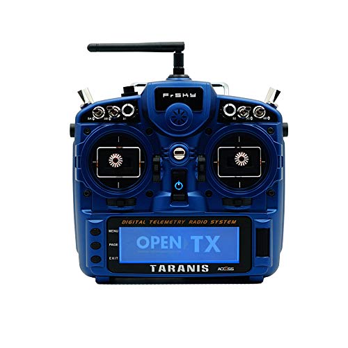
FrSky Taranis X9D Plus 2022

DJI Phantom 4 RTK
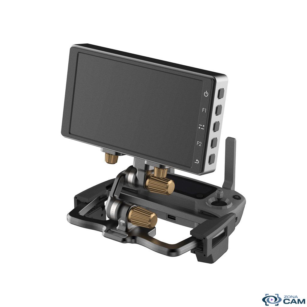
Skyreat Aluminum-Alloy Tablet Mount Holder
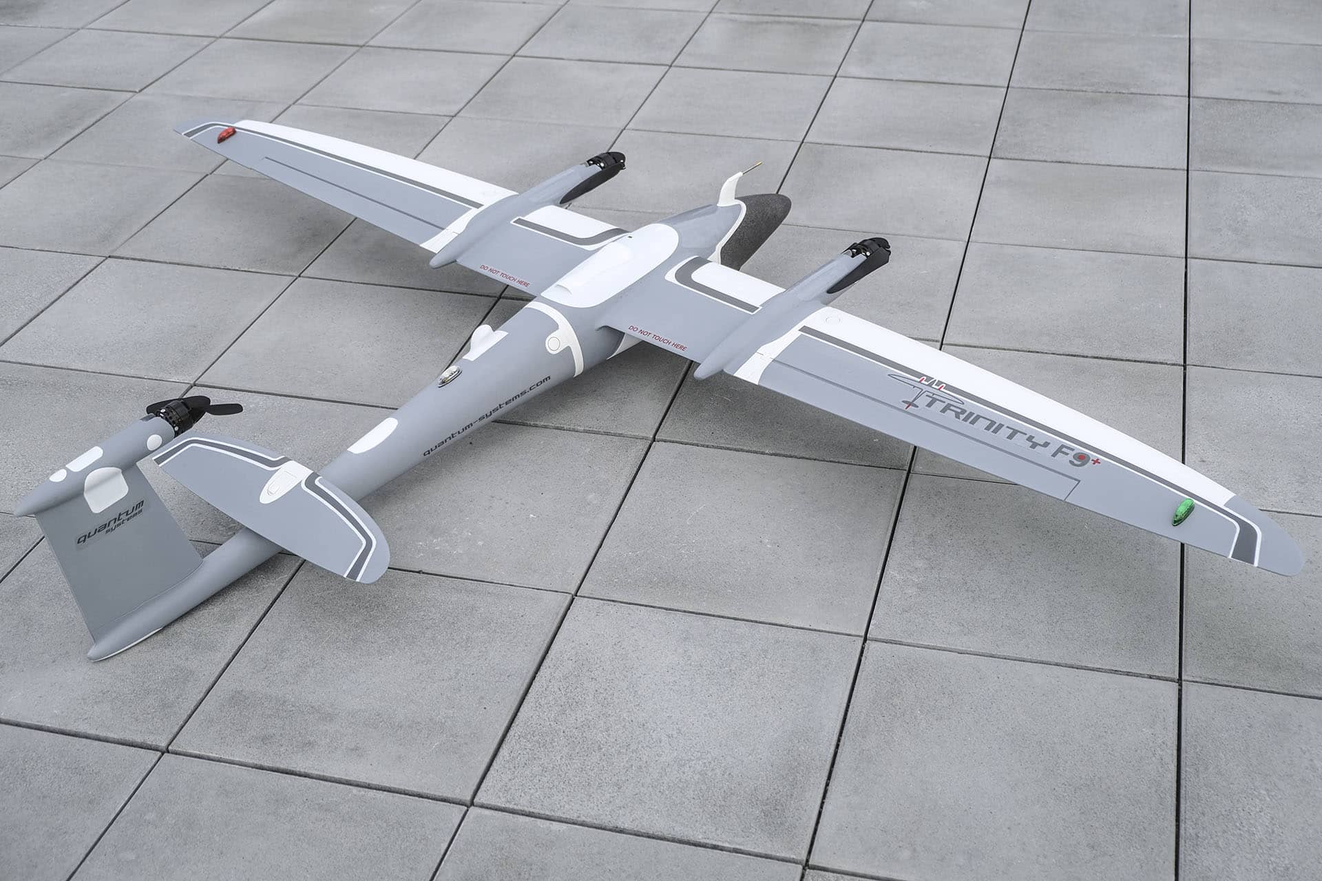
Quantum Systems Trinity F90+

senseFly eBee X
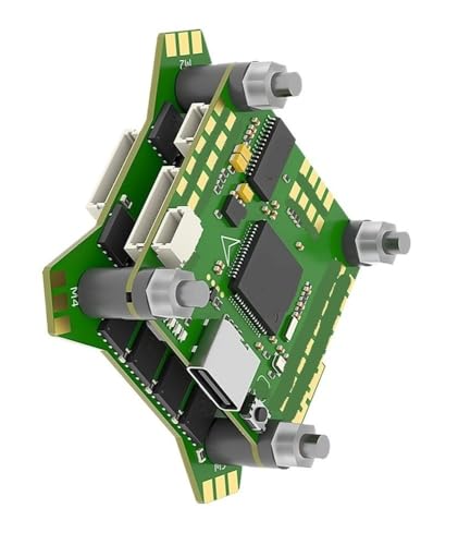
Holybro Kakute F7 HDV
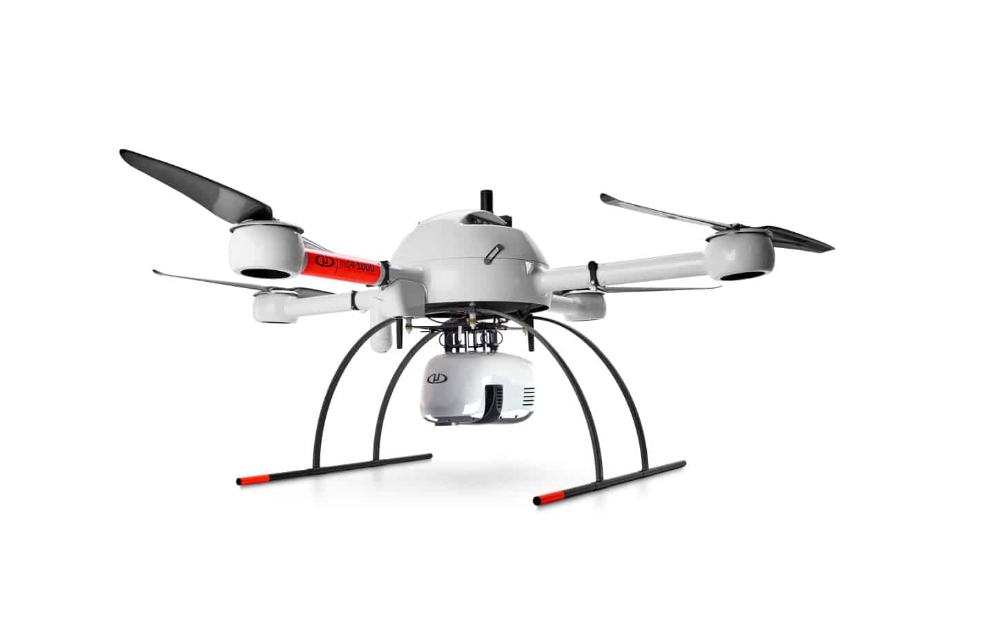
Microdrones mdLiDAR3000DL aaS

WingtraOne GEN II
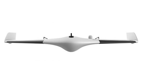
Delair UX11

Thrustmaster T.16000M FCS
PolarPro Flight Deck

YellowScan Voyager

Radiomaster TX16S Max
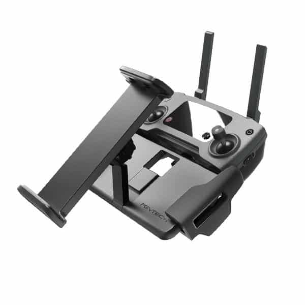
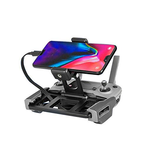
PGYTECH Pad Holder Stand
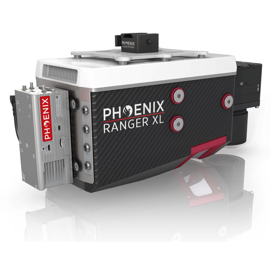
Phoenix LiDAR Systems Ranger LRX