I N C E P T I O N A I
The best product for you is already out there. Our AI finds it, because we answer to you, not advertisers.
The best product for you is out there. Let's find it.

The best product for you is already out there. Our AI finds it, because we answer to you, not advertisers.
The best product for you is out there. Let's find it.
DJI Matrice 350 RTK

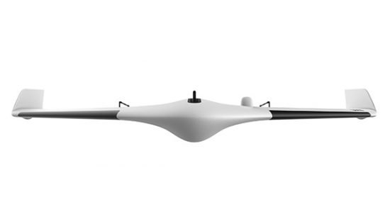
senseFly eBee Geo

DJI Phantom 4 RTK

Microsoft HoloLens 2

BlueDriver Pro scanner Bluetooth OBD2

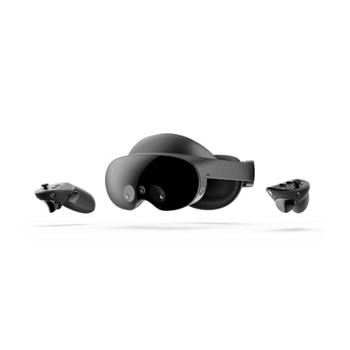
Meta Quest 3

Torque Pro OBD2

Flyability Elios 3

WingtraOne GEN II
Delair UX11
Ray-Ban Meta Smart Glasses
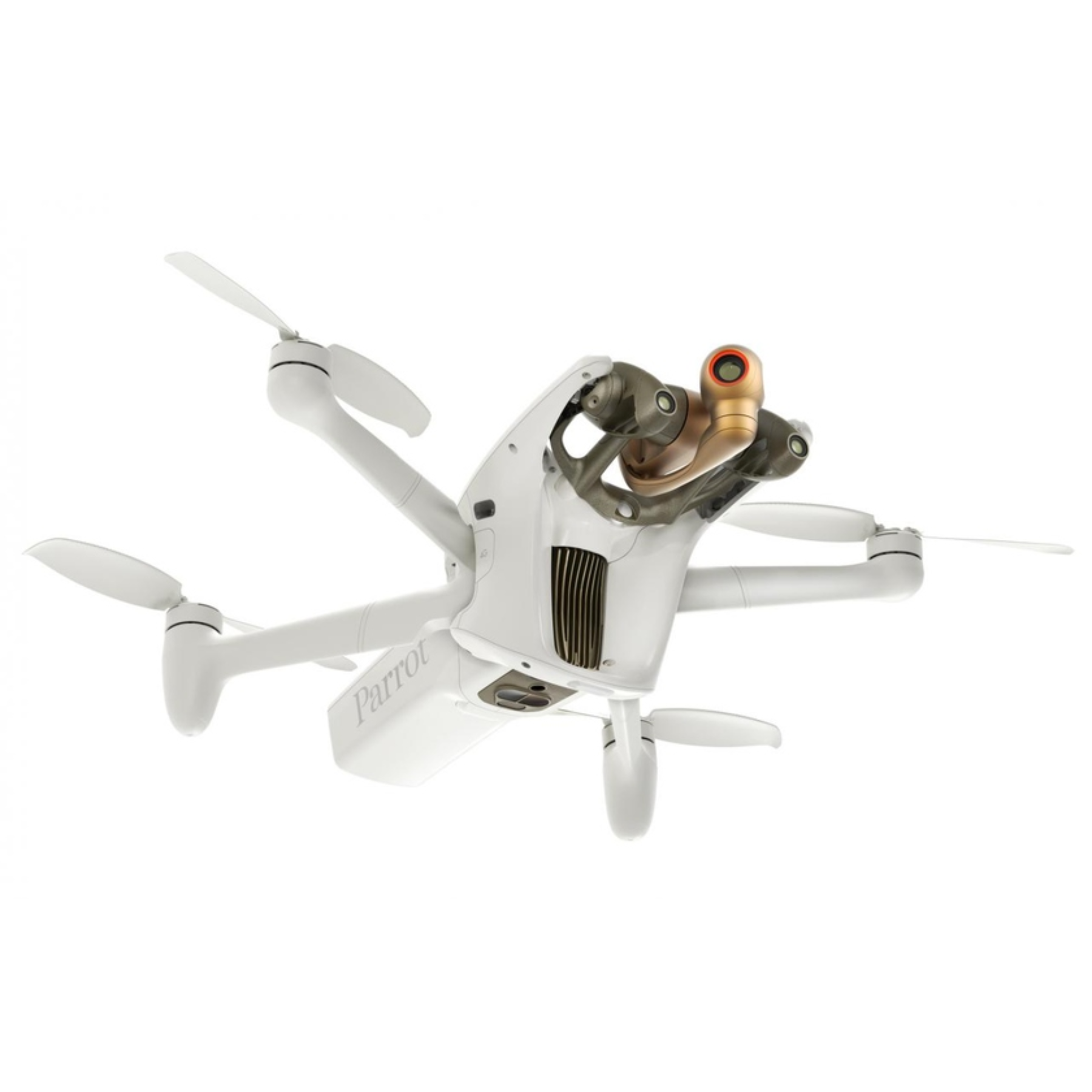
Parrot Anafi Ai

OBDLINK MX+

Autel Robotics EVO II Dual 640T
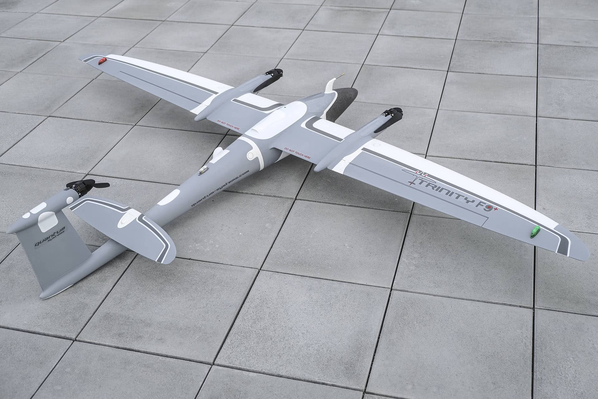
Quantum Systems Trinity F90+

Magic Leap 2