Top 7 Waterproof Topographic Maps in Canada for 2026
Published on Wednesday, February 25, 2026
Durable, tear-resistant topographic maps printed on waterproof synthetic paper are the go-to choice for Canadian paddlers, hikers, and backcountry travelers who need reliable, long-lasting navigation in wet and abrasive conditions. Engineered for long-term legibility and ink permanence so routes and notes stay readable in rain, river crossings, and extended trips, these maps combine rugged material science with practical cartography: clear contour detail, reliable scale, durable folding, and ink that resists smudging. Consumers prefer waterproof synthetic maps because they remove a major variable—paper failure—in safety-critical situations, while offering the tactile advantages of paper navigation (quick overview, easy annotation) that complement digital tools. In Canada specifically, buyers look for authoritative coverage of national and provincial parks, accurate trail and waterway detail, bilingual labeling where relevant, and formats sized to common packs and map cases. Cost, brand trust, map scale, and update frequency also shape purchasing decisions — from day-hikers wanting a single-peak sheet to multi-day canoeists needing river corridor durability and fold resilience.
Top Picks Summary
- Gem Trek Lake Louise & Yoho
- National Geographic Trails Illustrated 901: Banff North
- Chrismar The Adventure Map: Algonquin Provincial Park
- Backroad Mapbooks Vancouver Coast & Mountains BC Waterproof Map
- Trail Ventures BC North Shore Mountains Trail Map
- Jeff's Map Killarney Provincial Park Waterproof Map
- NRCan National Topographic System 1:50,000 Waterproof Edition
Gem Trek Lake Louise & Yoho
Gem Trek's Lake Louise & Yoho map is a best-in-class, locally focused topographic map printed on durable, water-resistant paper that emphasizes high-resolution contouring and trail details for alpine navigation. It holds an edge over broader publications because its cartography prioritizes fine-grain route information and refuge locations that backcountry users need, while typically undercutting larger publishers on price for single-area coverage. For anyone seeking waterproof paper topographic maps of the Rockies, Gem Trek balances technical accuracy with a compact, field-ready format.

National Geographic Trails Illustrated 901: Banff North
National Geographic's Trails Illustrated 901: Banff North acts as the market-leader thanks to consistent cartographic standards, widely recognized symbology, and durable water-resistant stock that makes it easy to integrate with other Trails Illustrated sheets. Compared with the more locally detailed Gem Trek and specialist offerings, Trails Illustrated favors broader park-scale context and user-friendly legends, which can cost slightly more but deliver reliable cross-region consistency for trip planning. Its strength for waterproof paper topographic maps is the blend of accessible interpretation and robust print quality valued by tourists and organized groups.

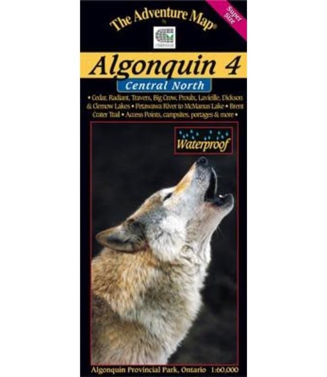
Chrismar The Adventure Map: Algonquin Provincial Park
Best-in-class for Algonquin trip planning, Chrismar’s Adventure Map pairs waterproof paper with recreation-focused symbology, clear contouring and camper-friendly icons that make route-finding simple on the ground. Compared with regional players like Backroad Mapbooks and the national NTS sheets from NRCan, Chrismar sacrifices broad coverage for tailored local content and practical annotations at a comparable price, making it the most convenient single-sheet purchase for Algonquin visitors.
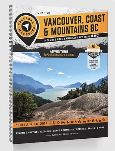
Backroad Mapbooks Vancouver Coast & Mountains BC Waterproof Map
Market-leading among commercial regional map publishers, Backroad Mapbooks produces a large-format, waterproof topographic map that combines recreation POIs, road and access detail, and clear contour information across the Vancouver Coast region. Its distribution scale and competitive pricing give it a financial advantage over smaller park-specific producers like Jeff’s Map and Chrismar, while its annotated travel overlays offer more trip-planning convenience than unannotated government 1:50,000 sheets.
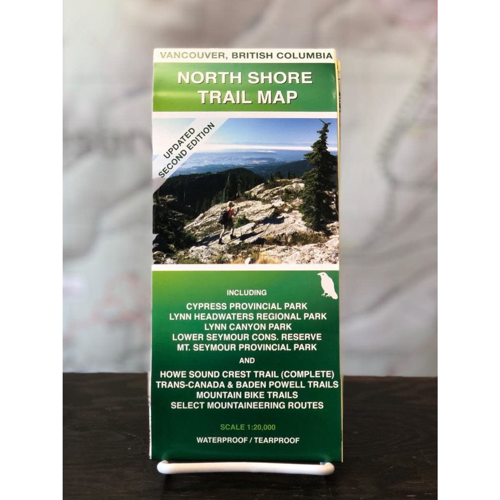
Trail Ventures BC North Shore Mountains Trail Map
Trail Ventures' BC North Shore Mountains Trail Map is a specialist, trail-centric topographic map printed on waterproof, tear-resistant stock and curated by local trail experts to reflect current route conditions and unofficial lines. It outperforms more generalized maps for technical day-hiking and scrambling because its updates and field-tested trail notes provide navigational advantages, although it covers a narrower footprint than regional mapbooks. For users focused on the North Shore mountains, Trail Ventures offers a technically precise, weatherproof paper option tailored to frequent backcountry use.
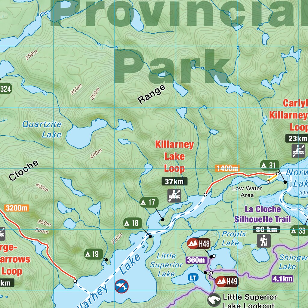
Jeff's Map Killarney Provincial Park Waterproof Map
Best-in-class for Killarney-specific navigation, Jeff’s Map emphasizes high-contrast waterproof printing, hand-curated route notes and dense on-site detail that benefit day hikers, paddlers and bushcrafters. Where Backroad and Chrismar provide broader regional or park overviews, Jeff’s Map trades scope for granular corrections and locally tested canoe/trail annotations—often at a lower retail price—making it a cost-effective choice for visitors who need fine-grained, usable detail.
NRCan National Topographic System 1:50,000 Waterproof Edition
The market leader in authoritative topographic data, Natural Resources Canada’s NTS 1:50,000 waterproof edition delivers standardized, high-accuracy contours, official coordinate grids and geodetic information across the country. Although it lacks many recreational annotations found on commercial maps, its legal-data backing, consistent scale and superior elevation accuracy make it indispensable for professional navigation and multi-sheet route planning, and its per-sheet cost is competitive when purchased in series.
Why waterproof synthetic topographic maps work: what research and field tests show
Laboratory testing and field trials by outdoor groups and material scientists support the main advantages of waterproof synthetic maps: resistance to water, higher tear strength than conventional paper, and better long-term legibility when exposed to abrasion, mud, and repeated folding. For beginners, the takeaway is simple: synthetic map substrates maintain readable detail and accept annotations more reliably than standard paper in wet or rough conditions, which reduces navigation errors and extends map life on multi-day trips.
Material performance: Synthetic substrates such as polyethylene and polypropylene films used for waterproof maps have significantly higher water resistance and tensile strength than standard cellulose paper, which reduces ripping and disintegration during river crossings or heavy rain.
Ink permanence and abrasion: Modern printing methods for waterproof maps use pigment-rich inks and coatings designed to bond to plastic substrates, which lowers smudging and fading under wet conditions and friction from handling.
Field validation: Outdoor clubs, search and rescue volunteers, and professional guides report fewer map failures and longer usable lifetimes for synthetic maps during extended trips and high-abrasion activities like canoe tripping and alpine travel.
Navigation safety: Reducing the chance of paper failure improves redundancy—paper maps remain a reliable backup to electronics when batteries die or devices fail, and waterproof maps preserve annotations and planned routes.
Practical trade-offs: Waterproof synthetic maps can be slightly thicker and less recyclable than standard paper; look for brands that offer updated editions and responsible production notes if sustainability is a priority.
Frequently Asked Questions
Which waterproof topographic map suits Canadian hiking best?
Gem Trek Lake Louise & Yoho is a great fit for alpine-style hikes because it uses waterproof laminated paper and has detailed topographic contours plus marked trailheads for the Lake Louise and Yoho area (rating 4.6).
Does Chrismar Adventure Map Algonquin include UTM grid lines?
Yes—Chrismar The Adventure Map: Algonquin Provincial Park includes UTM/grid lines and lat/long coordinates, plus marked trailheads and facilities, with laminated waterproof paper designed to resist tears and moisture (rating 4.6).
How does Gem Trek Lake Louise & Yoho compare in price?
Gem Trek Lake Louise & Yoho costs $13.14 CAD, same as National Geographic Trails Illustrated 901: Banff North at $14.95 CAD, both with durable water-resistant paper; Gem Trek adds Lake Louise and Yoho-specific trailhead detail (rating 4.4).
Is National Geographic Trails Illustrated 901: Banff North tear-resistant?
National Geographic Trails Illustrated 901: Banff North uses durable, weather-resistant paper for backcountry navigation in Banff, with a clear trail routing, elevation contours, and points of interest, for a rating of 4.4 (price $14.95 CAD).
Conclusion
Waterproof synthetic topographic maps are an essential tool for Canadian outdoor travel, combining robust materials science with clear, practical cartography. The seven standout options on this page address a range of needs and regions: Gem Trek Lake Louise & Yoho, National Geographic Trails Illustrated 901: Banff North, Chrismar The Adventure Map: Algonquin Provincial Park, Backroad Mapbooks Vancouver Coast & Mountains BC Waterproof Map, Trail Ventures BC North Shore Mountains Trail Map, Jeff's Map Killarney Provincial Park Waterproof Map, and the NRCan National Topographic System 1:50,000 Waterproof Edition. For most backcountry users who want the most authoritative, consistent national coverage and technical detail, the NRCan National Topographic System 1:50,000 Waterproof Edition is the best overall choice. We hope you found what you were looking for. If you want to refine or expand your search, use the site search to narrow results by park, scale, format, or intended activity.